Analytical Note by Economic Corruption Confrontation Thinktank regarding the Memorandum of Understanding signed by Iran and Russia in the field of geospatial data and cadastre, and a Significant Step toward the Development of the Country’s Registration and Land-based Infrastructure
Abstract
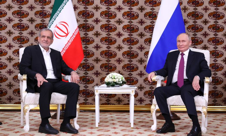
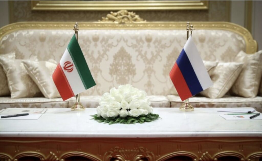
In line with deepening technical and specialize cooperation between Iran and the Russian Federation, a Memorandum of Understanding focusing on collaboration in the field of geospatial data, the cadastre system, and the exchange of technical expertise has recently been signed.
This MoU, concluded between the National Cartographic Center of Iran and its Russian counterpart (Rosreestr), holds strategic significance for the modernization and enhancement of the country’s geospatial information infrastructure.
Reasons for Concluding the Memorandum
Iran and Russia have signed an MoU to advance cooperation in geospatial data, cadastre systems, and techical knowledge exchange. The agreement aims to:
- Develop an integrated, intelligent cadastre in Iran by leveraging modern technologies (e.g., satellite monitoring, LiDAR) and Russia’s ISO 19152-based digital cadastre experience.
- Expand scientific and technical collaboration in geomatics through joint workshops, a planned “Joint Geomatics Innovation Center” in Tehran, and access to open-source and cloud platforms.
- Strengthen information infrastructure for sustainable land. management by creating a centralized “National Spatial Data Portal’ aligned with international frameworks such as INSPIRE or Russian standards.
Anticipated Impacts and Outcomes
Integrated Geospatial Systems: Apply Russia’s national cadastre experience to link land registration, natural resources, and agriculture systems with real-time GIS for crisis management, urban planning, and transport infrastructure.
Technology & Skills Transfer: Conduct joint pilot projects, advanced training in Russia, internships, and technical exchanges to upgrade Iranian expertise.
Accuracy & Transparency: Use high-resolution aerial imagery and Al to automate land use mapping, enable online cadastral inquiries, reduce fraud, and speed up document issuance.
International Standing: Strengthen Iran’s role in regional and global geomatics cooperation, increasing its presence in forums such as FIG and UN-GGIM.
This study was conducted by Aryan Saeedi, Director of Economic Corruption Confrontation Thinktank in 2025.
To read more, click here